
 NATIONAL WATER QUALITY MONITORING COUNCIL
WQP Home >
Providers >
STORET >
NJRCD


- First Neshanic River at Route 22 - NJRCD-FN1 (Stream)
- Lopatcong Creek along South Main Street/Rt. 122 - NJRCD-L1 (Stream)
- Lopatcong Creek at Strykers Road crossing - NJRCD-L2 (Stream)
- Lopatcong Creek at Belview Road crossing - NJRCD-L3 (Stream)
- Lopatcong Creek at Wester Road crossing - NJRCD-L4 (Stream)
- Lopatcong Creek at Harmony-Brass Castle Road/CR647 crossing - NJRCD-L5 (Stream)
- Neshanic River Mainstem at Everitt and Reaville Roads - NJRCD-N1 (Stream)
- Second Neshanic River at Route 22 - NJRCD-SN1 (Stream)
- Third Neshanic River at Route 22 - NJRCD-TN3 (Stream)
- Third Neshanic River at Everitt Road - NJRCD-TN3a (Stream)
- Unname Tributary at Route 514 - NJRCD-UNT1 (Stream)
- Unname Tributary at Old Mill Court and Hunterdon Pointe Blvd. - NJRCD-UNT2 (Stream)
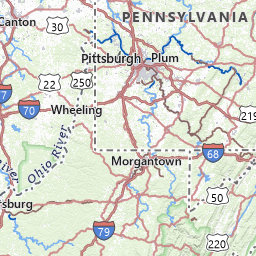
Water Quality Portal Data Sites for NJRCD
Leaflet USGS The National Map: National Boundaries Dataset, 3DEP Elevation Program, Geographic Names Information System, National Hydrography Dataset, National Land Cover Database, National Structures Dataset, and National Transportation Dataset; USGS Global Ecosystems; U.S. Census Bureau TIGER/Line data; USFS Road data; Natural Earth Data; U.S. Department of State HIU; NOAA National Centers for Environmental Information. Data refreshed February, 2025.
This organization has 12 sites. Click on a grouped icon to zoom and expand
- First Neshanic River at Route 22 - NJRCD-FN1 (Stream)
- Lopatcong Creek along South Main Street/Rt. 122 - NJRCD-L1 (Stream)
- Lopatcong Creek at Strykers Road crossing - NJRCD-L2 (Stream)
- Lopatcong Creek at Belview Road crossing - NJRCD-L3 (Stream)
- Lopatcong Creek at Wester Road crossing - NJRCD-L4 (Stream)
- Lopatcong Creek at Harmony-Brass Castle Road/CR647 crossing - NJRCD-L5 (Stream)
- Neshanic River Mainstem at Everitt and Reaville Roads - NJRCD-N1 (Stream)
- Second Neshanic River at Route 22 - NJRCD-SN1 (Stream)
- Third Neshanic River at Route 22 - NJRCD-TN3 (Stream)
- Third Neshanic River at Everitt Road - NJRCD-TN3a (Stream)
- Unname Tributary at Route 514 - NJRCD-UNT1 (Stream)
- Unname Tributary at Old Mill Court and Hunterdon Pointe Blvd. - NJRCD-UNT2 (Stream)